AerialPhotos.aero
Ein tolles Geschenk - Ein Gutschein:
für ein Wellness-Wochenende
Wellness-Wochenende
Home deutsch english
All aerial photos
Search aerial photos:
Aerial photos from:
Germany
 Bavaria
 Berlin
 Brandenburg
 North Rhine-Westphalia
 Rheinland-Pfalz
 Saxony
 Saxony-Anhalt
 Thuringia
France
Greece
Italy
Croatia
Maldives
Seychelles
Morocco
Norway
Austria
Switzerland
Spain
Botswana
Namibia
Zambia
Venezuela
Topics:
 Palaces | Castles | Churches | Monuments | Buildings | Cities | Villages | Nature | Sports | Aero
Imprint - Copyright
7 Aerial photos from Namibia
from: Damaraland | Etosha | Namib Naukluft Park | South |
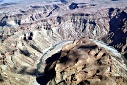
Aerial photo Fishriver Canyon
Fishriver Canyon Nature
   
The Fishriver canyon is 160km long, 27km wide and 550 metres deep.

Namibia - South -
Vote:
---
Picture taken 29.5.2008 - aerial photo #0017-0592

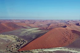
Aerial photo Dunes of Sossusvlei
Dunes of Sossusvlei Nature
   
Sossusvlei is a salt pan within the Namib-Naukluft National Park. It is known for the high red sanddunes.

Namibia - Namib Naukluft Park -
Vote:
---
Picture taken 28.5.2008 - aerial photo #0017-0517

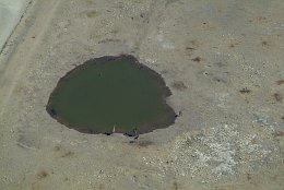
Aerial photo Giraffes at a Waterhole in Etosha Park
Giraffes at a Waterhole in Etosha Park Nature
   
Giraffes at a waterhole in Etosha National Park. The Etosha pan is the bottom of a big lake in North Nambia. The name means: big white spot.

Namibia - Etosha -
Vote:
---
Picture taken 25.5.2008 - aerial photo #0017-0385

|<<   < backAerial photo 2-4 of 7next >   >>|