|
|
11 Aerial photos from Cyclades:
from: Delos | Insel Aegina | Insel Ikaria | Insel Naxos | Insel Paros | Insel Santorin | Insel Syros |

|
|
|
|
|
|
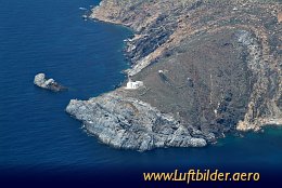
Ikaria is populated since 7000 b.C. In the 6th century b.C. it belonged to the kingdom of
Polykrates. Later it was adminstered by the crusaders, conquered by the Turks and became a
free state in 1912. A small island with an eventful history.
|
|
Picture taken 29.4.2006 -
aerial photo #0007-0443
|
|
|

|
|
|
|
|
|
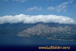
The Cycladic Island Ikaria is located between Samos in the East and Paros in the West.
It was named after Ikarus, son of Daedalus, who
according to the legend died during his failed attempt to fly. His wax connected wings melted because he came too close to the sun and he crashed into the sea.
|
|
Picture taken 29.4.2006 -
aerial photo #0007-0439
|
|
|

|
|
|
|
|
|
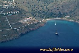
The island of Aegina, untouched by mass tourism, is
located close to Piraeus, the famous port of Athens.
|
|
Picture taken 29.4.2006 -
aerial photo #0007-0451
|
|
|
|