|
|
102 Aerial photos from Berlin:
from: Charlottenburg | Dahlem | Friedrichshain | Grunewald | Grünau | Hellersdorf | Karow | Köpenick | Lichtenberg | Mariendorf | Marzahn | Mitte | Moabit | Pankow | Reinickendorf | Ruhleben | Schönefeld | Spandau | Steglitz | Tegel | Tempelhof | Tiergarten | Wannsee | Westend | Wilmersdorf | Zehlendorf |

|
|
|
|
|
|
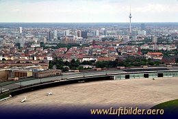
The area of the historic airfield of Berlin Tempelhof was used as a Prussian parade field and became an airfield in 1909 to be grown to worlds first commercial airport. For shortsighted political reasons operations were ceased by the Berlin provincial government in 2009.
|
|
Picture taken 29.7.2007 -
aerial photo #0012-0372
|
|
|

|
|
|
|
|
|
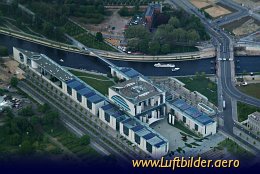
Bundeskanzleramt am Spreebogen, Willy-Brandt-Str. 1
is the address of the German Chancellors office since April 30th 2001.
|
|
Picture taken 8.5.2005 -
aerial photo #0003-0105
|
|
|

|
|
|
|
|
|
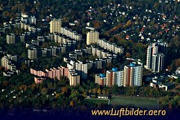
The ''Märkische Viertel'' was built as satellite town from 1963 to 1974.
Currently about 40.000 people live there.
|
|
Picture taken 30.10.2005 -
aerial photo #0005-0332
|
|
|
|


